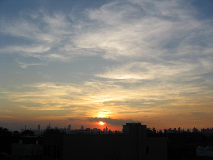
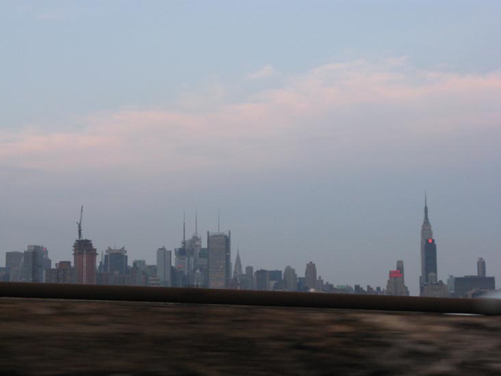
Manhattan Skyline
Manhattan Skyline From
The Bronx


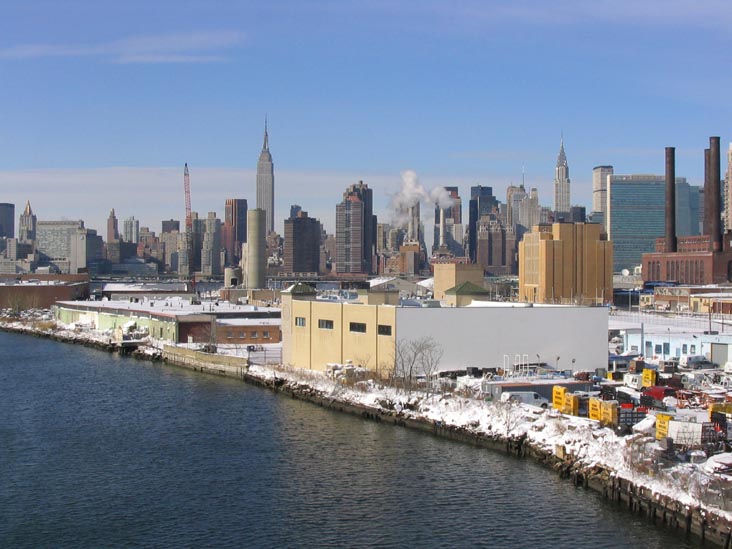
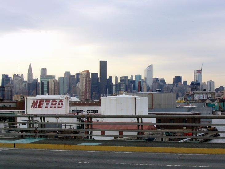
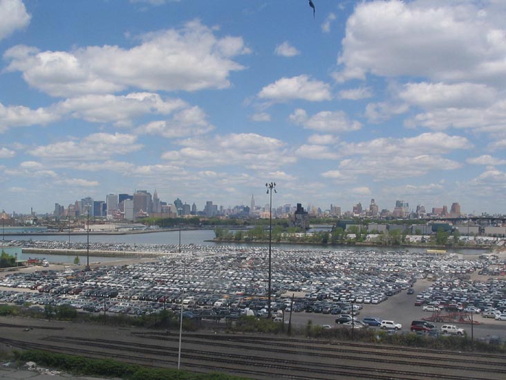
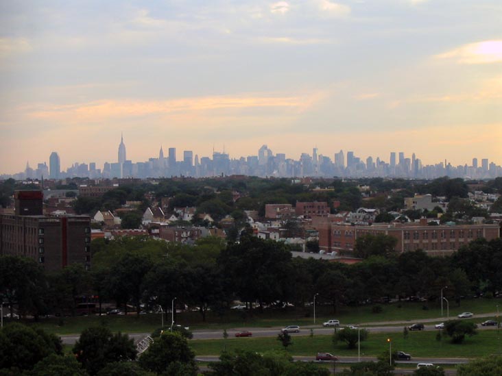
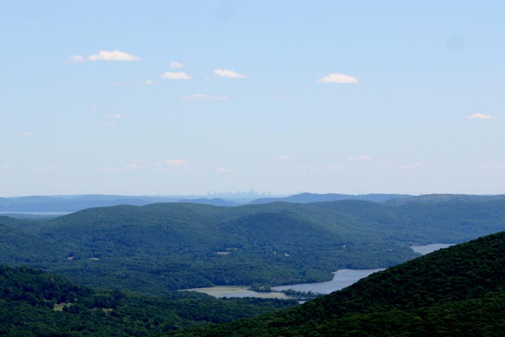
Manhattan Skyline
From Brooklyn


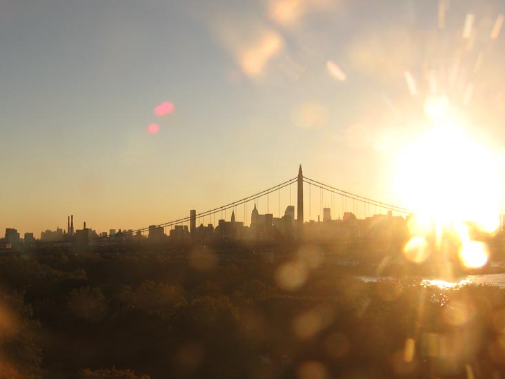
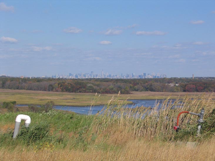
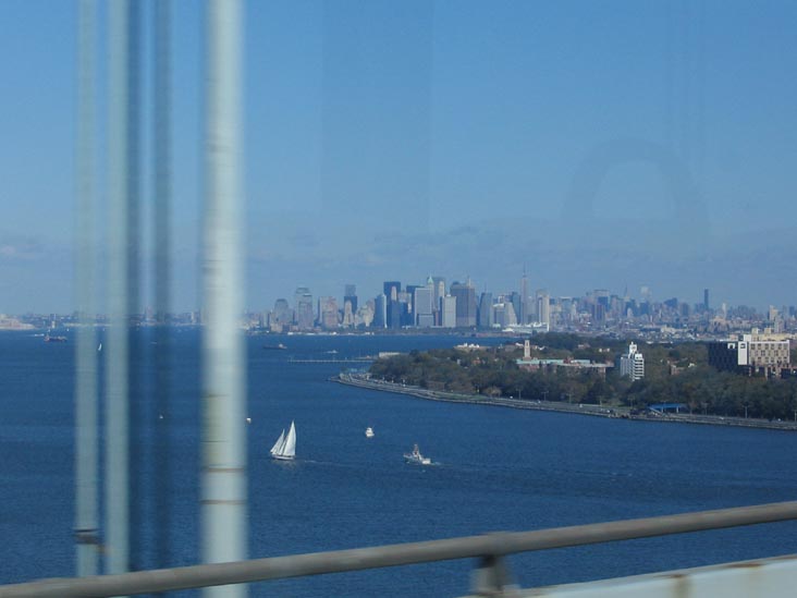
Manhattan Skyline
From Staten Island


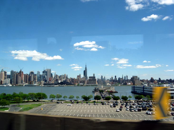
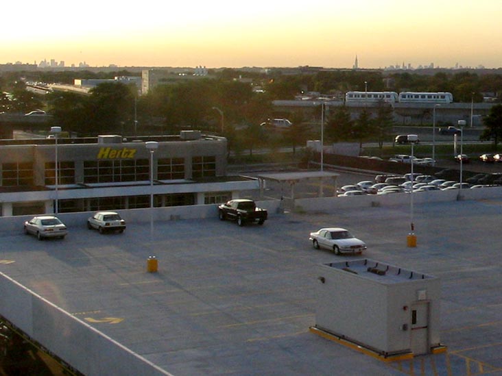
Manhattan Skyline
From New Jersey
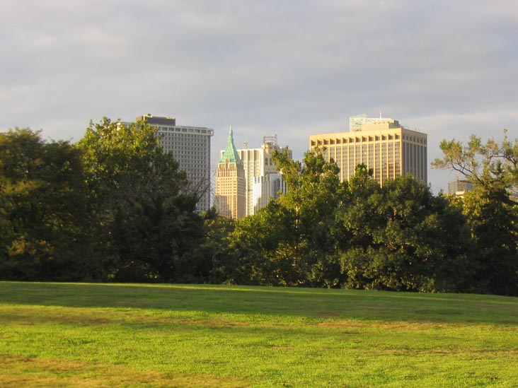
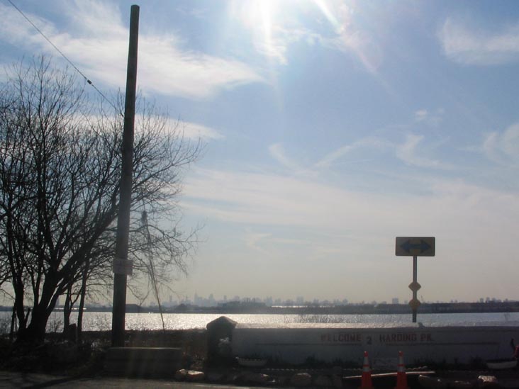
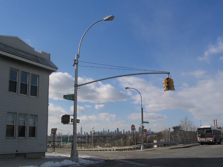
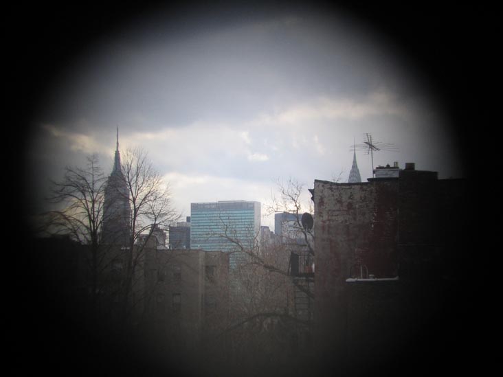
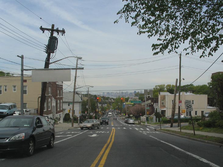
Manhattan Skyline From
The Bronx
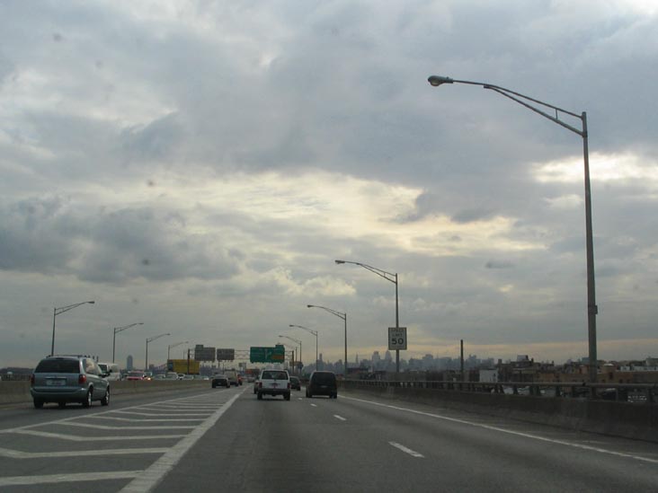
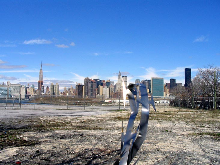
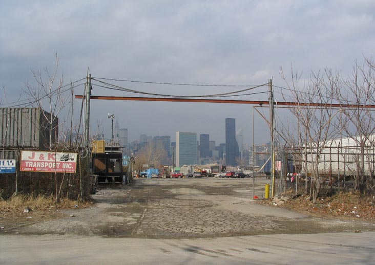
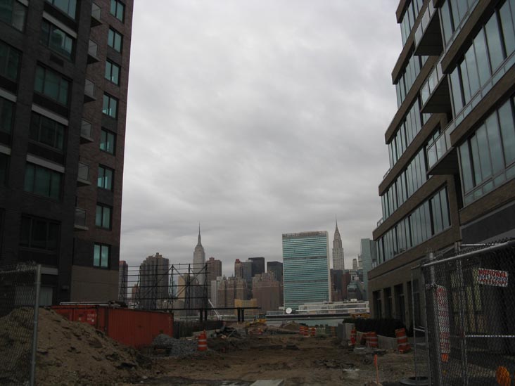
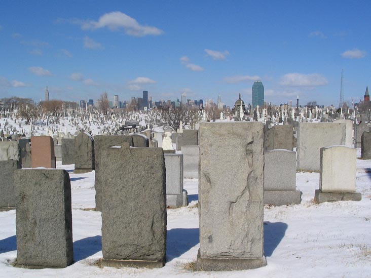
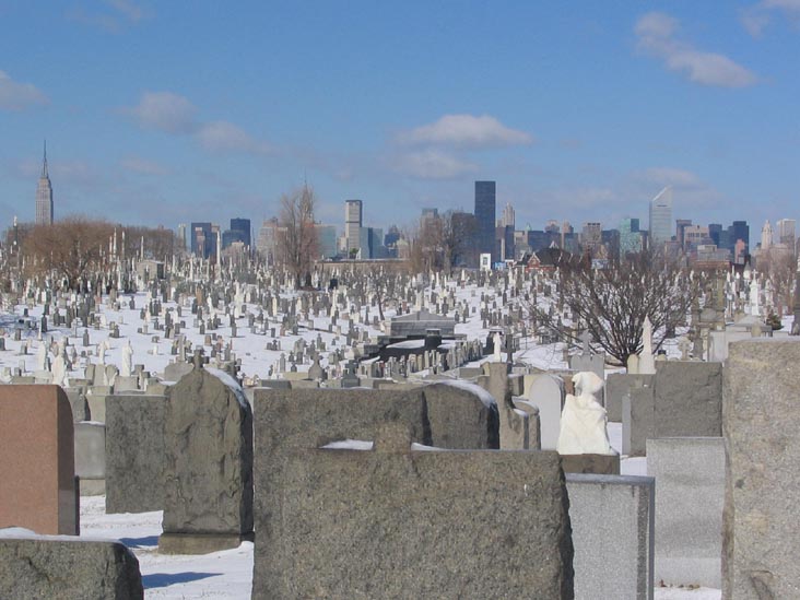
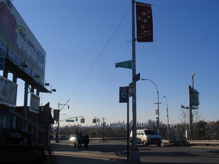
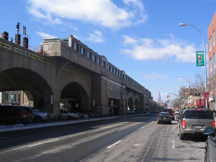
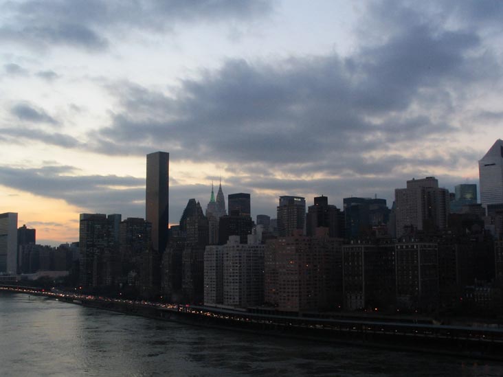
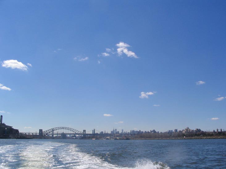
Manhattan Skyline
From Brooklyn
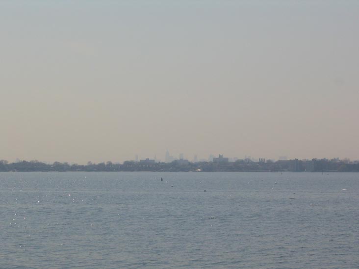
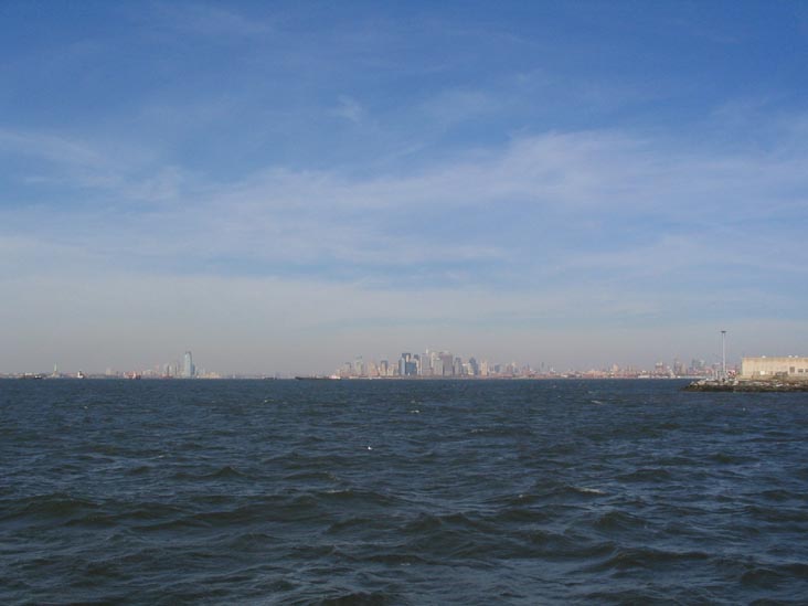
Manhattan Skyline
From Staten Island
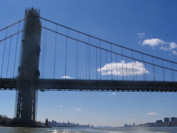
Manhattan Skyline
From New Jersey