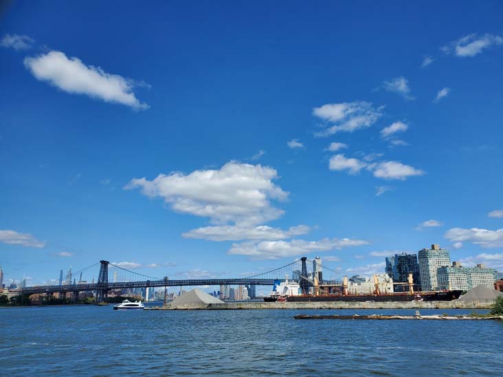
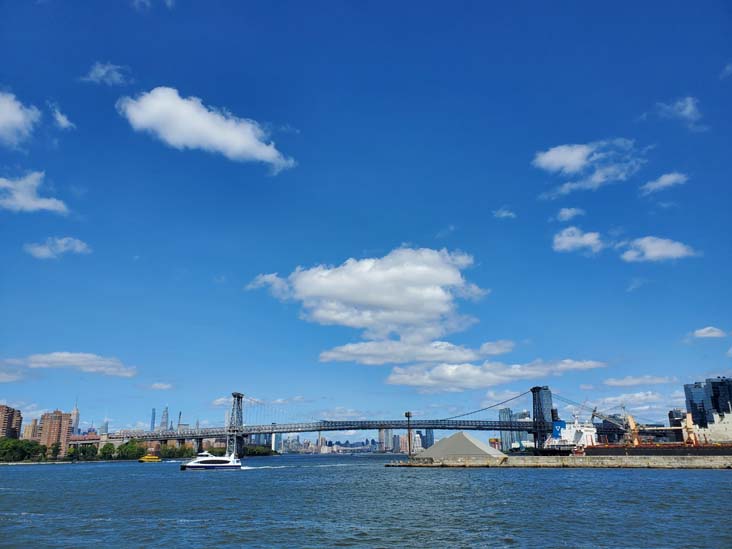
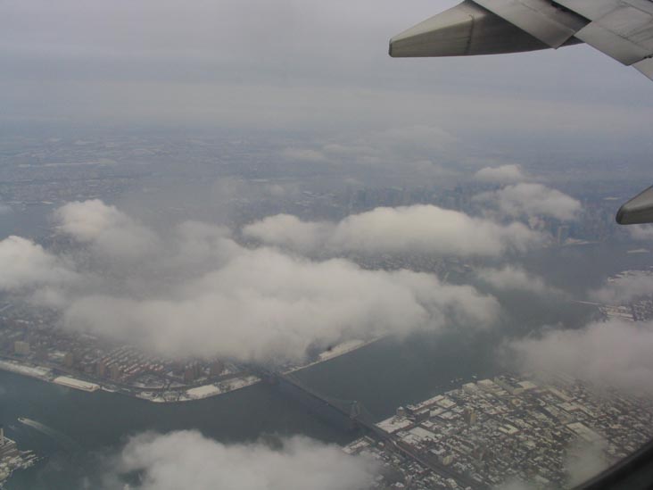
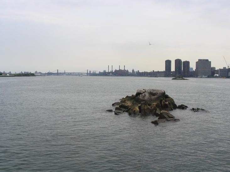
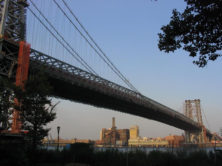
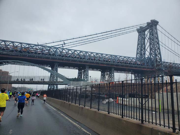
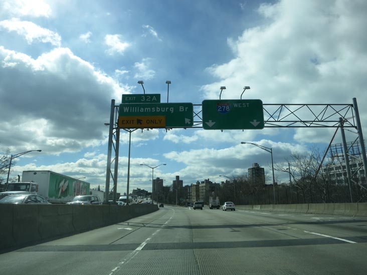
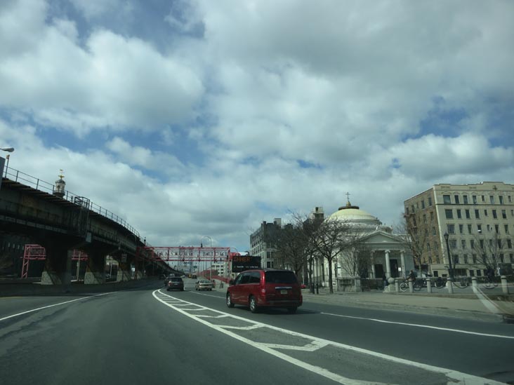
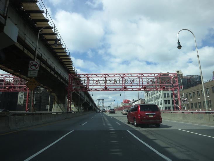
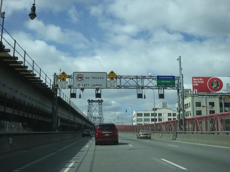
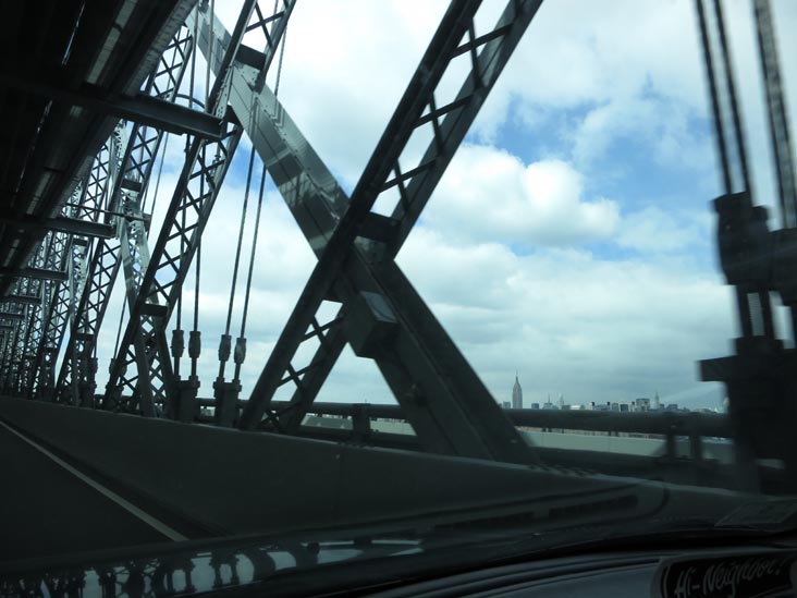
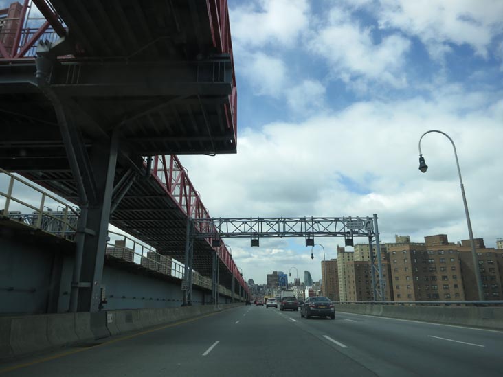
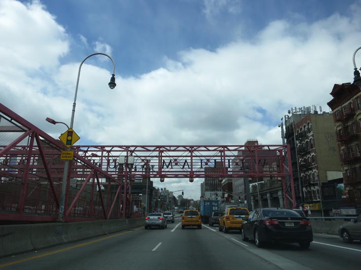
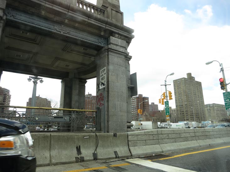
Driving Across The Williamsburg Bridge, March 22, 2013
Support the Big Map!
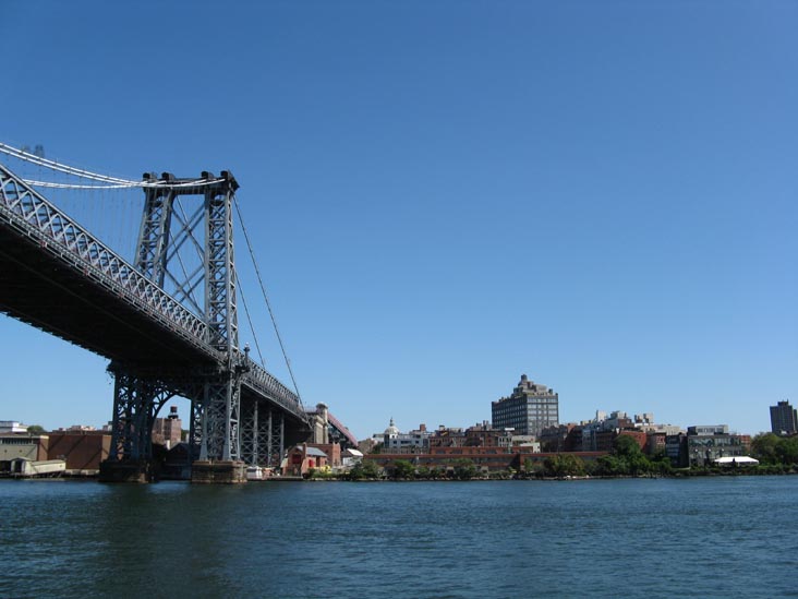
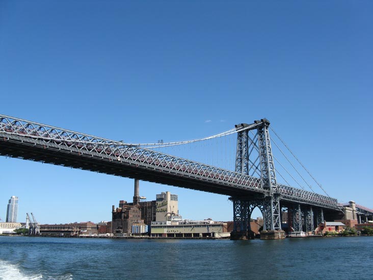
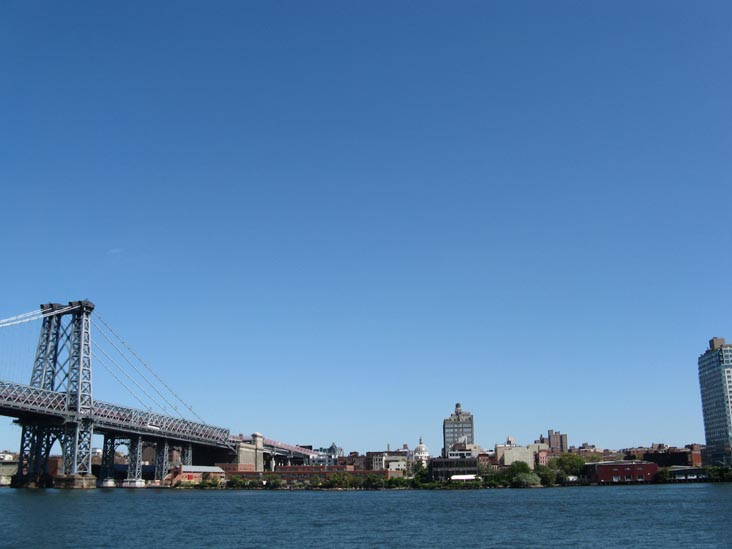
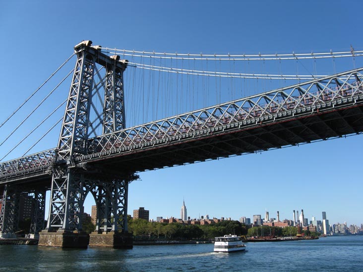
Williamsburg Bridge Wikipedia Entry nycroads.com Williamsburg Bridge Historic Overview
Back to Bridges Main Page
Back to Citywide Main Page
The Bronx Brooklyn Manhattan Queens Staten Island Citywide Out Of Town What Is The Big Map? Big Map Blog + RSS Feed
Back to Big Map Home
Back to Bridge and Tunnel Club Home