Links
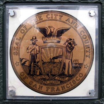
City of San Francisco
San Francisco Convention and
Visitors Bureau
San Francisco Chronicle
"San
Francisco/Napa, March 2009" Big Map Blog Entry, April 3, 2009
"Northern
California, March 5-17, 2010" Big Map Blog Entry, July 26, 2010
San Francisco
Alamo
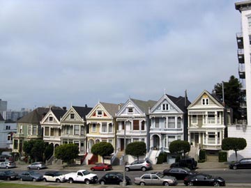
Square:
Daly City:
- Blue Bottle Coffee Company Cart
- The Embarcadero
- Ferry Building
- Ferry Plaza Farmers Market
- Fog City Diner
- Gandhi Statue
- Justin Herman Plaza
- Miette Pâtisserie
- Pancho Villa Taqueria
- Pier 14
- The Slanted Door
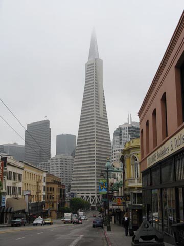
Financial District:
- Alioto-Lazio Fish Company
- Boudin Bakery
- Fisherman's Wharf
- Ghirardelli Square
- Jefferson Street
- Pier 39
- San Francisco Maritime National Historical Park
- Dolores Park
- La Espiga De Oro
- Maxfield's House of Caffeine
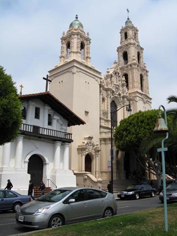
- Mission Dolores
- Needles and Pens
- Taqueria Cancun
- Taqueria El Farolito
Oakland:
Richmond District:
San Francisco International Airport
San Francisco-Oakland Bay Bridge
- America's Best Value Inn & Suites
- Bloodhound
- Good Hotel
- Mission Street
- St. Joseph's Church
- San Francisco Federal Building
- Sightglass Coffee
- Westfield San Francisco Centre
- Yerba Buena Gardens